Global Incident Map Earthquakes up to Magnitude M9.1
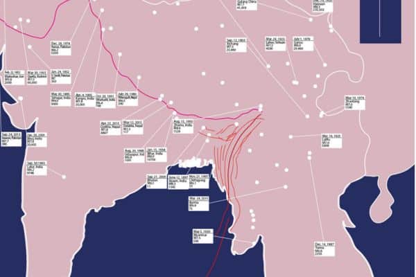
In this article, I have prepared a Global Incident Map Earthquakes of in major countries from the earliest history to the present. The earthquake map is prepared by an illustrator and is used for education or other purpose. You can download the map and use as it your style. The free PDF version of the earthquake map can be converted to any format if you wish to use this as a source file.
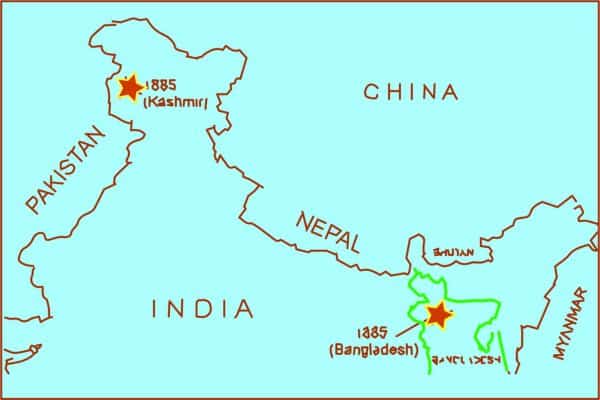
In this map the distribution of Global Incident Map Earthquakes is mainly in the India, Bangladesh, Pakistan, Afghanistan, Iran and the surrounding areas. The major earthquake in India are Bihar Earthquake in 1934. In Bangladesh, themajor earthquake is the Chittagong earthquake enlisted the location and the magnitude. The Dauki Fault along the Bangladesh-India border are the major concern for the earthquake risk in near future.
Earthquake Map of India and Bangladesh
Earthquake map of India
Global Incident Map Earthquakes
Earthquake in India:
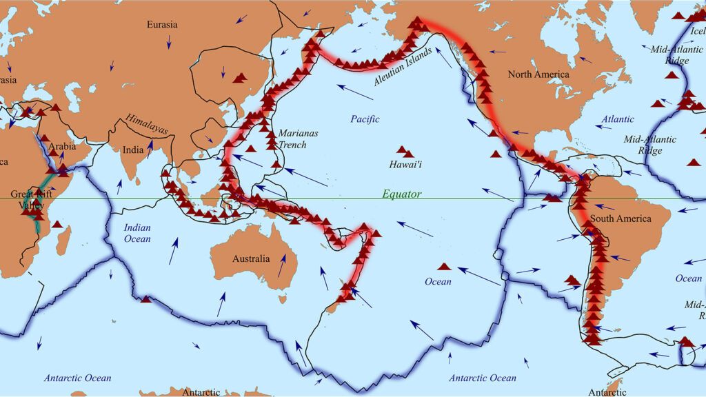
India is one the major earthquake risk zone in the world. The plate tectonic boundary at the Himaloyan mountain border and the Eurasian Plate boundary makes this area risky for the occurance of earthquake.
Earthquake in Bangladesh:
Bangladesh is situated on the boundary of two tectonic plates, the Indian and the Eurasian plates. These plates are constantly moving and colliding, resulting in seismic activity that can cause earthquakes. Additionally, Bangladesh is located in an area where the Indian Ocean meets the Bay of Bengal, making it vulnerable to earthquakes that are triggered by the movement of underwater tectonic plates.


